Request Consultation
+91 73058 87605 mail@addpower.in

Mon – Sat : 9.30 AM – 6.30 PM


Engineering Solution

Geo Spatial Surveying

Professional geospatial surveying solutions for infrastructure, industrial development, utilities, renewable energy and engineering projects.

Geo spatial surveying by Admire Power Engineering

Solution Overview

Precision Field Data for Engineering Confidence

Admire Power Engineering delivers professional geospatial surveys using modern GPS, total station and drone technology — providing the accurate field measurements and engineering data your projects depend on.

  • Topographical Survey
  • DGPS Survey
  • Engineering Survey
  • Utility Survey
  • Route Survey
  • Boundary Survey

Business Challenges

The Challenges We Help You Overcome

Unreliable survey data creates delays, disputes and costly rework. Here are the problems our surveying solutions solve.

Inaccurate Measurements

Outdated or approximate measurements that undermine design and construction decisions.

Construction Delays

Site surprises and rework that push programmes back and inflate budgets.

Planning Errors

Poor ground data leading to incorrect layout, levels and infrastructure design.

Manual Documentation

Hand-written records and paper maps that are hard to share, store or verify.

Utility Conflicts

Hidden underground utilities discovered too late, causing damage and redesign.

Project Risks

Uncertainty in site conditions that increases risk across cost, safety and schedule.

Our Solution

Complete Geospatial Surveying Capability

Professional survey services that deliver accurate, digital engineering data for every stage of your project.

DGPS Survey

Differential GPS surveys that deliver high-accuracy positioning over large sites.

Total Station Survey

Precise total station measurements for detail, control and as-built surveys.

Contour Mapping

Accurate contour and level data that define site terrain for design and earthworks.

Topographic Mapping

Detailed topographical mapping of natural and built features for engineering use.

Alignment Survey

Route and alignment surveys for roads, power lines, pipelines and canals.

Engineering Layout

On-site setting out and layout that keeps construction exactly to design.

Technology & Methodology

Modern Equipment, Reliable Methods

A technology-driven approach ensures every measurement is precise, verifiable and engineering-ready.

DGPS

Differential correction technology for centimetre-level positioning accuracy.

RTK GPS

Real-time kinematic GPS for fast, high-precision field measurements.

Total Station

Robotic total stations for precise angles, distances and detail capture.

Drone Survey

Aerial surveys that rapidly map large and inaccessible sites.

GIS Integration

Survey outputs integrated into GIS platforms for analysis and asset management.

Digital Mapping

CAD and digital mapping that deliver clean, shareable engineering drawings.

Applications

Where Our Surveying Solutions Apply

Reliable geospatial data supports power, energy, transport, industry and commercial development projects.

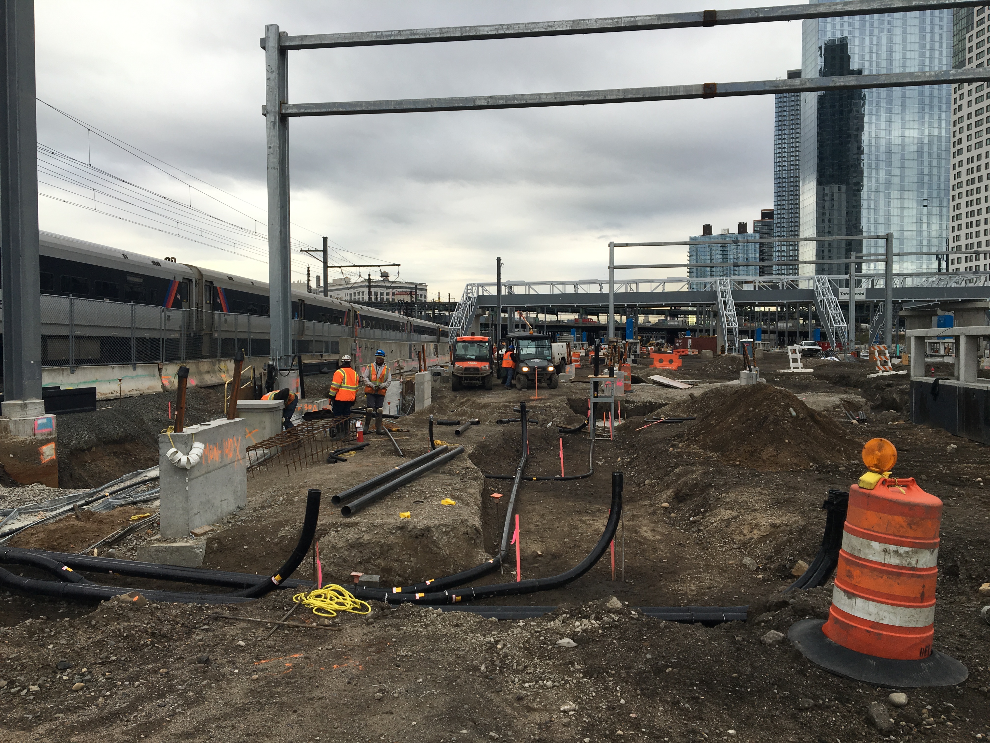
Surveying for power projects

Power Projects

Site and layout surveys for power infrastructure development.

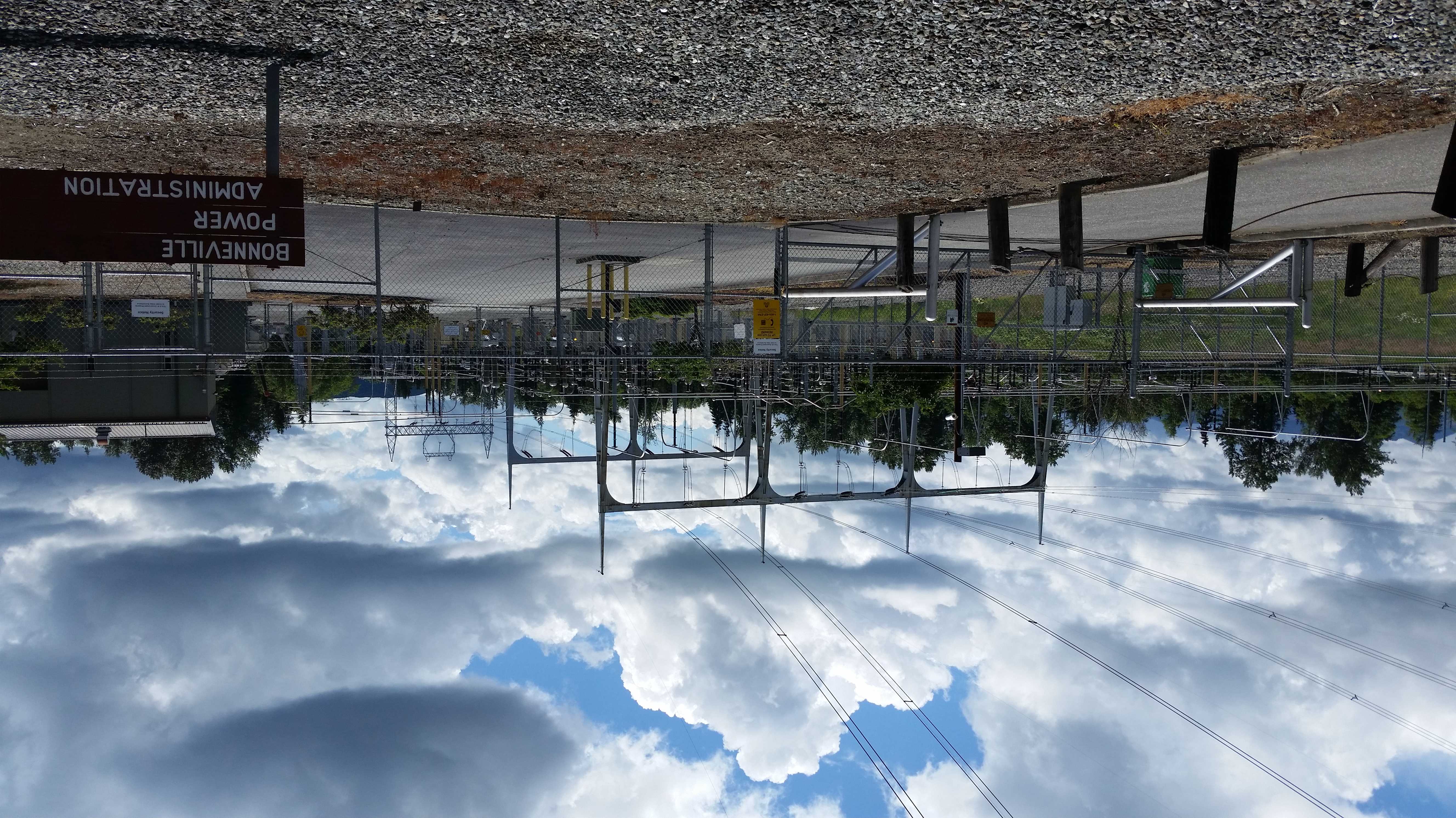
Surveying for transmission lines

Transmission Lines

Route and tower alignment surveys for transmission corridors.

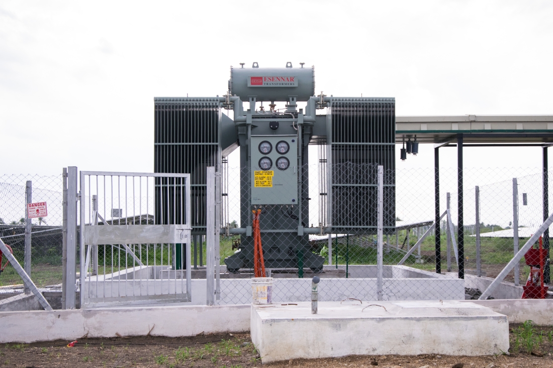
Surveying for solar farms

Solar Farms

Terrain and contour surveys for solar plant layout design.

Surveying for wind farms

Wind Farms

Access road and turbine foundation survey for wind projects.

Surveying for industrial parks

Industrial Parks

Topographic and layout surveys for industrial developments.

Surveying for commercial developments

Commercial Developments

Boundary and engineering surveys for commercial sites.

Benefits

What Your Project Gains

Precise geospatial data reduces risk and gives every engineering decision a reliable foundation.

Higher Accuracy

Centimetre-level measurements from modern GPS, RTK and total station technology.

Reduced Project Risk

Verified site data that prevents surprises, disputes and costly rework.

Better Planning

Accurate terrain and layout data that supports confident design decisions.

Faster Execution

Efficient field workflows and digital deliverables that keep projects moving.

Digital Documentation

Clean CAD and digital records that are easy to store, share and reuse.

Reliable Engineering Data

Dependable measurements that engineering teams can trust throughout the project.

Why Admire

Why Choose Admire

Engineering strength, modern equipment and dependable delivery on every surveying project.

35+ Years Experience

Three decades of proven engineering and infrastructure project delivery.

Professional Engineering Team

Qualified engineers and survey specialists on every project.

Modern Survey Equipment

Current DGPS, RTK, total station and drone survey technology.

Quality Assurance

Rigorous data validation and quality checks at every stage.

Safety Standards

Strict field safety protocols aligned with industry standards.

Timely Delivery

Disciplined project management with reliable schedules.

How We Work

Project Workflow

A disciplined seven-stage process that takes your survey project from requirement to final delivery.

  1. Requirement

    Scope, accuracy and deliverable needs defined.

  2. Site Survey

    Site visit and control point establishment.

  3. Data Capture

    GPS, total station and drone measurements.

  4. Processing

    Field data adjusted, corrected and compiled.

  5. Validation

    Accuracy verified against control and checks.

  6. Engineering Drawings

    CAD maps, contours and layouts prepared.

  7. Final Delivery

    Survey data and drawings handed over.

FAQ

Frequently Asked Questions

Answers to common questions about our Geo Spatial Surveying solution.

We provide topographical, DGPS, total station, contour, route, alignment, boundary, utility and engineering layout surveys across infrastructure and industrial projects.

Using DGPS, RTK GPS and total station technology, we deliver centimetre-level accuracy suited to engineering design and construction layout.

Yes. Our mobile survey crews and drone capability allow efficient, accurate surveys of large, remote and difficult-to-access sites across India.

Yes. We prepare CAD maps, contours, cross-sections, alignment and layout drawings directly from validated field data, ready for engineering use.

Yes. We support power projects, transmission lines, solar and wind farms, roads and industrial parks with route, alignment, terrain and layout surveys.