GIS Mapping & Data Analysis
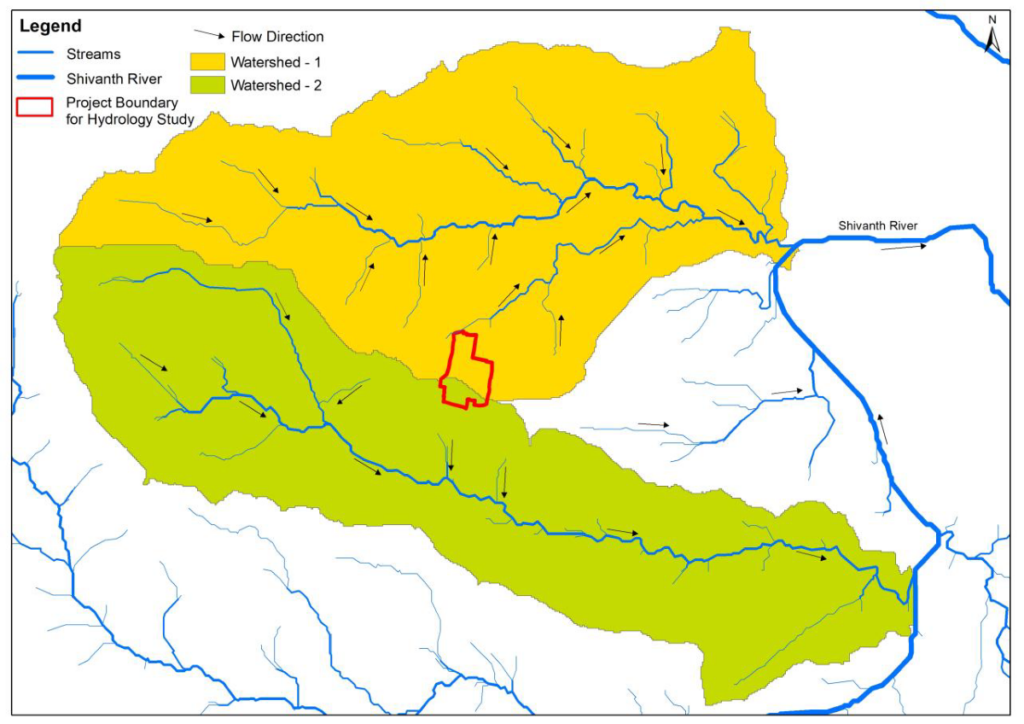
Asset mapping, utility mapping, spatial analysis and infrastructure planning with engineering-grade GIS deliverables.
Explore Solution
Engineering Solutions
Technology-backed engineering solutions that strengthen project planning, spatial decision-making and long-term infrastructure performance.
How We Support Projects
From accurate geospatial data capture to structured mapping and analysis, our solutions give engineering teams the spatial clarity needed to plan, build and maintain infrastructure with confidence.
Admire Power Engineering pairs 35+ years of hands-on electrical engineering experience with modern GIS and geospatial surveying capabilities — turning field data into practical, engineering-grade insight.
Every solution is delivered by a team that understands how infrastructure is actually designed, installed and operated, so the outputs fit directly into real project workflows.
What We Offer
Explore the technology solutions we deliver to support planning, surveying, analysis and decision-making across engineering projects.
Asset mapping, utility mapping, spatial analysis and infrastructure planning with engineering-grade GIS deliverables.
Explore Solution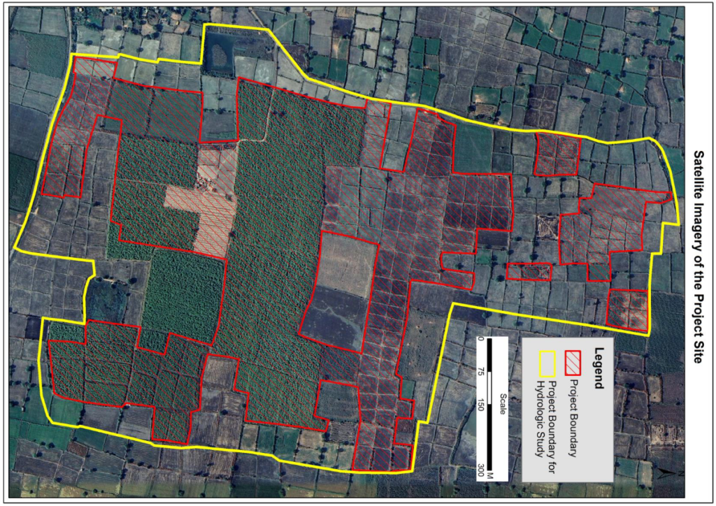
Topographical, DGPS, total station, route, boundary and engineering surveys for infrastructure and renewable energy projects.
Explore SolutionWhat We Bring
A focused set of mapping, surveying and data capabilities that support engineering planning and decision-making.
Creation and management of geographic information systems for asset and utility mapping.
Analysis of spatial datasets to support planning, routing and site-level decisions.
Accurate on-site data capture using modern surveying instruments and field techniques.
Structured location data that supports infrastructure and facility management.
Clear map outputs and visualisations that communicate engineering data effectively.
Spatial insight that informs early-stage planning, feasibility and project execution.
How It Works
A structured workflow that moves from raw field data to the spatial insight engineering teams can act on.
Field surveys and data capture using modern geospatial instruments.
Converting raw data into structured maps and usable datasets.
Examining spatial relationships to support engineering decisions.
Presenting results through clear maps and visual outputs.
Actionable insight for planning, design and project execution.
End-to-End Delivery
Our mapping, surveying and data solutions sit alongside a complete range of electrical engineering services — from design and supply to installation, testing and maintenance.
Where They Apply
From power generation and process plants to construction sites and commercial campuses, our spatial solutions support the sectors we serve.